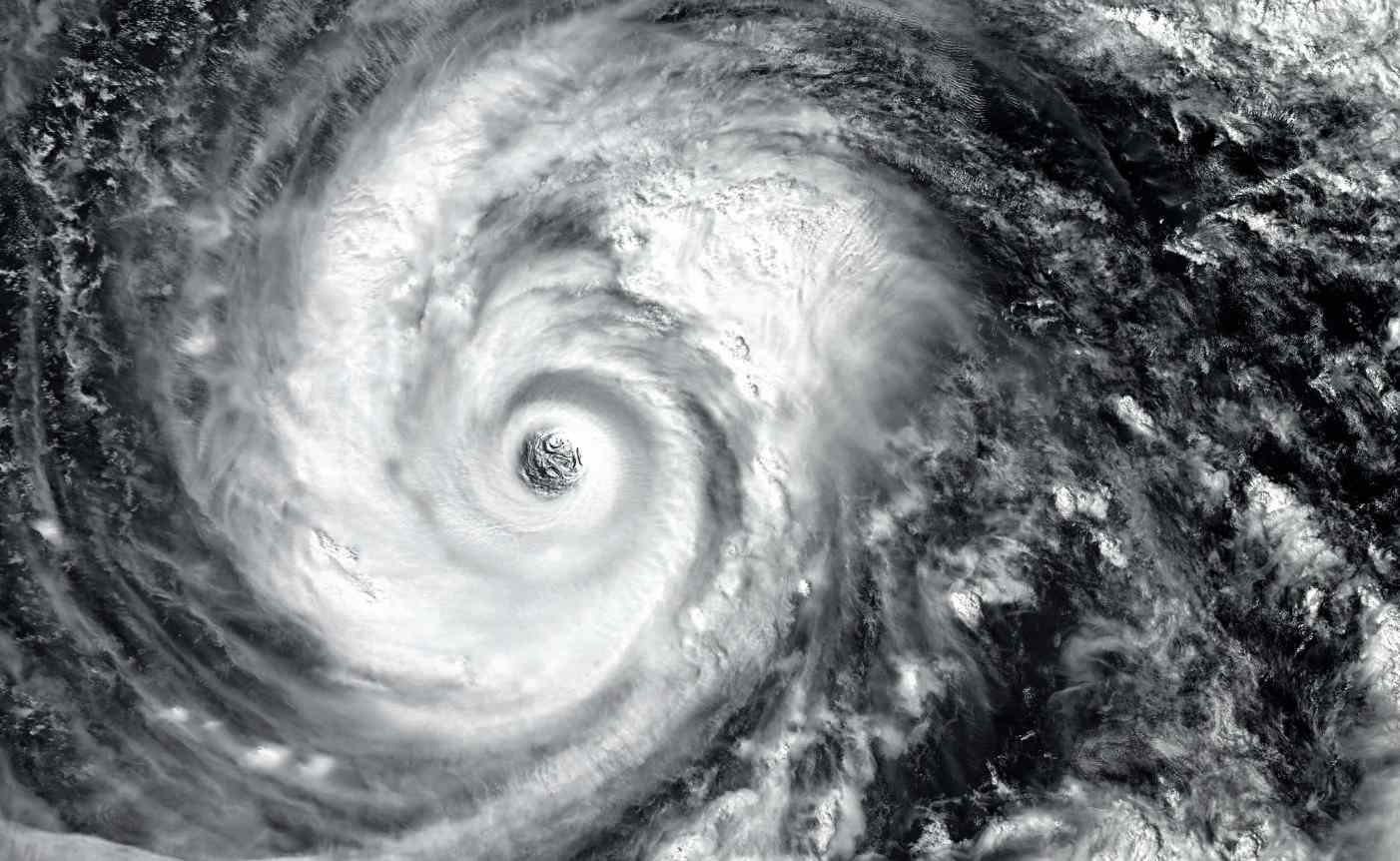
Highlights
- Hurricane Milton, now a Category 4, is expected to make landfall on Florida’s west coast.
- Life-threatening storm surges up to 15 feet predicted in coastal areas.
- Hurricane-force winds of 155 mph will bring widespread damage to Southwest Florida.
- Flash floods and river flooding risks, with up to 18 inches of rain expected in some areas.
- Tornadoes may form across west-central and southern Florida by Tuesday night.
Hurricane Milton, a major Category 4 storm, poses a life-threatening danger to Southwest Florida as it accelerates toward landfall.
The National Hurricane Center (NHC) warns of a severe storm surge, strong winds, heavy rainfall, and the potential for tornadoes.
With sustained winds of 155 mph, Milton is expected to bring widespread damage, particularly along Florida’s Gulf Coast.
Rapid Intensification and Forecast Path
Milton rapidly intensified from Category 1 to Category 5 in just 12 hours, with maximum winds reaching 180 mph.
Now a Category 4 hurricane, it is moving east-northeast at 12 mph toward Florida’s west coast.
Also, Read: Ilona Maher Eyes DWTS Victory While Sharing Heartfelt Farewell to Alan Bersten
Although the storm is expected to weaken to a Category 3 before landfall, its size and intensity will still cause significant damage.
The forecast indicates that Milton will make landfall late Wednesday night or early Thursday morning.
Life-Threatening Storm Surge Expected
One of the most dangerous impacts of Hurricane Milton is the storm surge. A surge warning has been issued for areas along Florida’s Gulf Coast, where water levels could rise as high as 10 to 15 feet above ground level.
Tampa Bay, Fort Myers, and Charlotte Harbor are among the areas at the greatest risk.
Coastal flooding will peak between Wednesday night and early Thursday, especially if it coincides with high tide.
Evacuations have been ordered for regions with high surge risks, and residents are urged to take immediate action.
Wind Damage Across Central Florida
Hurricane warnings are in effect from Bonita Beach to Suwannee River, including major cities like Tampa and Orlando.
Also, Read: Yellowstone Season 5 Part 2 Release Date, Time, Episode Guide, and How to Watch
Winds of 74 mph or higher are expected to batter these areas, causing power outages and structural damage. Central Florida, including inland regions like Orlando, will also face destructive winds as the storm moves across the state.
Tropical storm-force winds could arrive as early as Wednesday morning, making it crucial for residents to complete their storm preparations by Tuesday night.
Flooding and Tornado Threat
Along with the winds and surge, Florida is already experiencing heavy rainfall ahead of Milton’s arrival.
The storm is expected to bring 5 to 12 inches of rain, with isolated areas receiving up to 18 inches.
Also, Read: Martial Law Declared Amid South Korea’s Demographic Decline
Flash flooding and river flooding are major concerns, especially in central Florida. The NOAA Weather Prediction Center has issued a “high risk” flood alert for the Tampa Bay and Orlando areas.
Additionally, the NHC has warned of isolated tornadoes across west-central and southern Florida. The tornado risk will increase on Tuesday night and continue through Wednesday.
Residents in all affected areas should remain vigilant and monitor local news for updates. Hurricane Milton may weaken before landfall, but the potential for storm surge, wind, and flooding remains extremely serious.
Also, Read: Bright Star in the East: Why Jupiter Shines So Brightly After Dark
